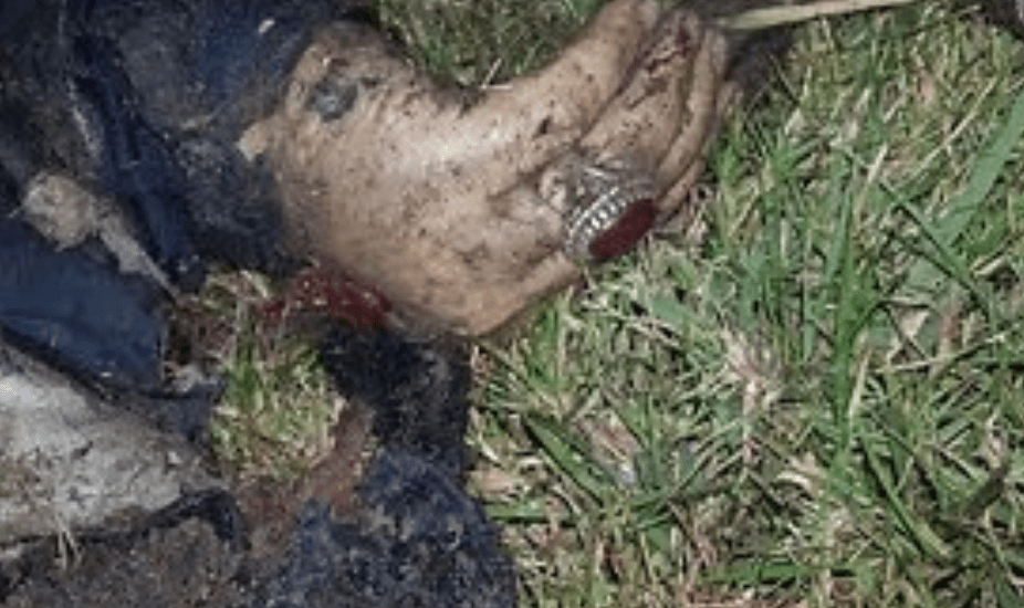
Western Sydney teen *Fadi Zraika* — one of the two teens accused of lighting a grass fire at a Guildford park while bushfires ravaged NSW — *laughed outside court* today after appearing on multiple charges


Suspicion Grows As Experts Suggest That Amazon Fires Were Intentional


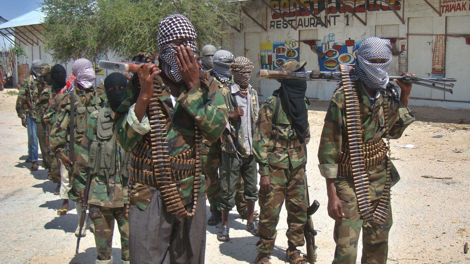
ISIS encouraging followers to set wildfires in forests, fields of US, Europe

Gippsland | Gippsland Environment Group | Page 2

CHANGE.ORG
Act now: De-register the Greens Party
We don’t have a bushfire crisis. We have an arson crisis
A nation on fire: Astonishing graphic shows the true scale of bushfires across Australia
- Composite was made using data from NASA’s satellites and shows where bushfires have hit in the last month
- Brightest spots on the graphic are in NSW and Victoria, where more than 2,000 homes have been destroyed
- At least 25 people are dead and six million hectares of land have been destroyed – and the worst is yet to come
A graphic has revealed the true extent bushfire devastation across Australia, as experts warn the worst is yet to come.
The composite was made using data from NASA‘s satellites and shows where bushfires ravaged the nation between December 5 last year and January 5.
The brightest spots on the graphic are in New South Wales and Victoria, where more than 2,000 homes have been damaged or destroyed by the raging infernos.

The graphic, made using data from NASA’s satellites, shows the where the bushfires have ravaged Australia over the last month
The image’s creator, Anthony Hearsey, explained that it is a 3D visualisation of the fires, and not an actual photograph.
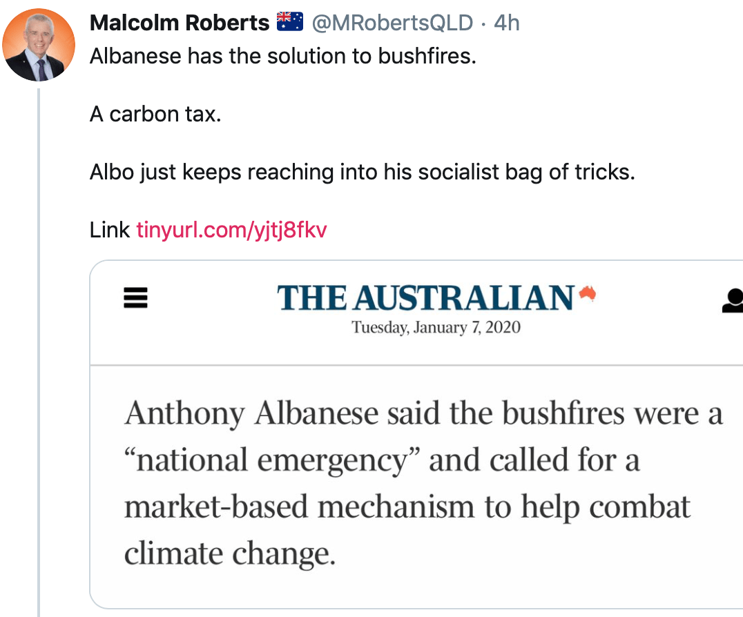
Continue reading We Need a Carbon Tax to Keep Us Safe From “Climate Change”